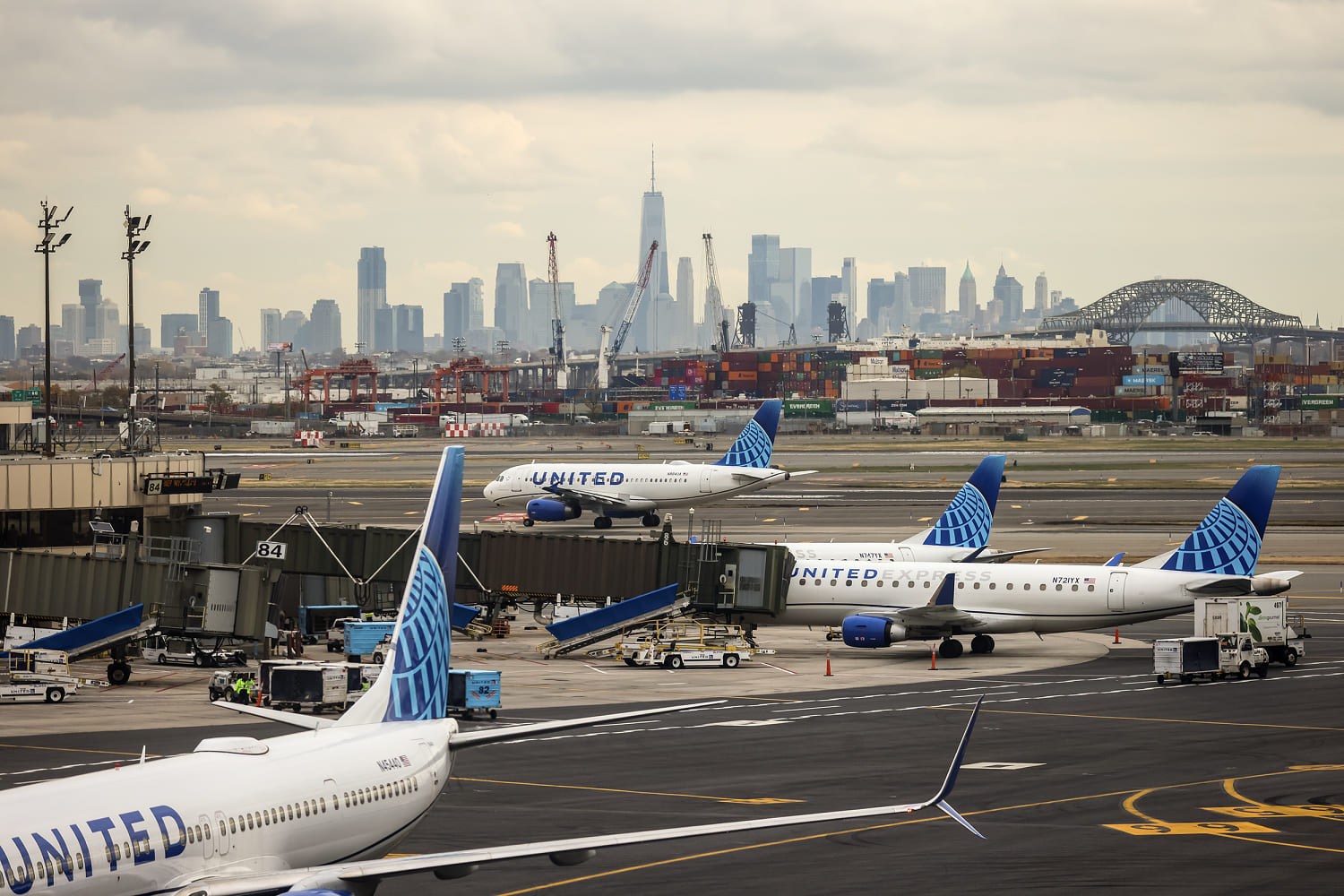
The collision between a descending United Airlines aircraft and ground-based infrastructure at Newark Liberty International Airport (EWR) represents a catastrophic failure of the spatial buffers required for safe aviation-transportation co-existence. This event is not merely a "freak accident" but a measurable breach of the Obstacle Free Zone (OFZ) and the Aeronautical Transition Surface. When a Boeing 737 Max 8 strikes a utility pole on the perimeter of a major interstate—specifically the New Jersey Turnpike—the failure point lies at the intersection of glide slope precision, infrastructure height regulations, and the kinetic energy transfer inherent in low-altitude maneuvers.
The Physics of the Impact Zone
The Newark airport environment is one of the most complex topographical challenges in the National Airspace System (NAS). To understand how an aircraft wing can intersect with a utility pole and subsequently cause injury to a motorist on the ground, one must analyze the Three Vectors of Spatial Failure:
- Vertical Deviation from Glide Path: Standard instrument landing systems (ILS) typically mandate a 3-degree glide slope. At the perimeter fence of EWR, an aircraft should maintain a specific altitude MSL (Mean Sea Level) to clear all ground-based obstructions by a defined margin of safety. Any deviation—whether caused by wake turbulence, wind shear, or pilot input—reduces this buffer to zero.
- Infrastructure Encroachment: The New Jersey Turnpike sits in immediate proximity to Runway 29. The height of utility poles and lighting fixtures in this corridor is governed by FAA Part 77, which establishes standards for "Objects Affecting Navigable Airspace." If a pole is struck, either the aircraft was below the protected floor or the infrastructure violated the imaginary surface height.
- Kinetic Energy Dissipation: The Boeing 737 Max 8 has a maximum landing weight of approximately 150,000 pounds. Even at approach speeds of 130–150 knots, the energy transfer upon striking a stationary object like a utility pole is massive. The primary danger to ground commuters is not the direct impact of the plane, but the Secondary Projectile Effect: the collapse of the pole and the snapping of high-tension wires onto moving traffic.
The Sequence of Structural Failure
The incident involved United Airlines Flight 2133. During the final approach phase, the aircraft’s left wingtip made contact with a utility pole located outside the airport’s physical boundary. This contact initiated a chain of mechanical and structural failures that can be categorized into three distinct phases:
Phase I: The Primary Strike
The wingtip, designed for aerodynamic efficiency rather than structural impact resistance, shears the top of the utility pole. The aircraft suffers immediate damage to its leading-edge slats or winglet. At this moment, the pilot must compensate for an asymmetric lift condition and a sudden yaw moment while only a few hundred feet above the ground.
Phase II: Infrastructure Collapse
The pole, likely a wood or composite structure, lacks the shear strength to withstand a strike from a 75-ton vehicle. It fractures, sending debris onto the New Jersey Turnpike. The injury to the driver in the van resulted from this debris—a direct result of the Lateral Energy Transfer from the air to the ground.
Phase III: Emergency Stabilization
Despite the impact, the aircraft retained enough aerodynamic control to complete the landing. This speaks to the redundancy in modern flight control systems, but it masks the severity of the Approach Path Overlap. Had the impact occurred several feet further inboard on the wing, the damage to the fuel tanks or primary flight surfaces could have resulted in a hull loss.
Quantifying the Buffer Breach
Aviation safety is built on the "Swiss Cheese Model" of risk management, where multiple layers of protection must fail simultaneously for an accident to occur. In this Newark event, four specific layers were penetrated:
- The NAVAID Layer: The ILS (Instrument Landing System) or GPS-based approach path should provide a stabilized descent. A strike indicates a vertical or lateral excursion from the designated "funnel" of safe airspace.
- The Visual Layer: In daylight conditions, the Precision Approach Path Indicator (PAPI) lights provide visual cues (red and white) to the pilot. A strike suggests the pilot was operating in a "too low" configuration (more red lights than white) without immediate correction.
- The Regulatory Layer: FAA Part 77 defines the Clearway and Stopway. If the pole was within the regulated zone, its height was legally capped. The investigation must determine if the pole was a "new" obstruction or if the aircraft’s landing profile has shifted over time due to runway threshold adjustments.
- The Environmental Layer: Low-level wind shear is a frequent variable at EWR due to its coastal location and the urban heat island effect. A sudden "sink" in the final seconds of flight can drop an aircraft 20–30 feet—enough to bridge the gap between safety and impact.
Operational Implications for the New Jersey Transportation Corridor
The Newark-Jersey City corridor is perhaps the highest-density intersection of air, rail, and sea transport in the world. The proximity of the NJ Turnpike to EWR Runway 29 creates a High-Velocity Conflict Zone.
The "Cost Function" of this incident extends beyond the immediate vehicle damage and the injured driver. It includes:
- Systemic Throughput Delays: The closure of lanes on a primary arterial like the Turnpike causes a ripple effect through the regional supply chain.
- Fleet Grounding: The Boeing 737 Max 8 involved is removed from the active fleet for NTSB inspection and structural repair, incurring significant opportunity costs for the carrier.
- Insurance Premium Re-rating: Incidents involving ground-to-air contact trigger a reassessment of risk for all infrastructure within a 5-mile radius of the runway.
Comparative Risk: Landing vs. Ground Transit
Statistically, the passenger in the aircraft is significantly safer than the driver on the turnpike. However, this event flips the traditional risk profile. The driver, operating in a designated ground-transit lane, becomes a victim of an Externalities Incursion. The aircraft, essentially a high-mass projectile in this phase of flight, becomes the "hazard" to a system (the highway) that has no defensive mechanism against aerial strikes.
We must differentiate between a Mechanical Failure strike (where the aircraft is forced down) and a Procedural Deviation strike (where the aircraft is functioning normally but is in the wrong place). Early reports suggest Flight 2133 was not in an emergency state prior to the strike, which points toward a procedural or environmental cause rather than a catastrophic engine or flight-control failure.
Mapping the Regulatory Response
The NTSB and FAA investigation will focus on the Flight Data Recorder (FDR) and the Cockpit Voice Recorder (CVR) to sync the aircraft's exact altitude with the GPS coordinates of the utility pole. The critical question is whether the aircraft was on the "glideslope" or if it had dipped below the glidepath "floor."
If the aircraft was on the glideslope and still hit the pole, the infrastructure is at fault. If the aircraft was below the glideslope, the flight crew and airline operational procedures will face intense scrutiny.
- Vertical Profile Analysis: Investigators will reconstruct the descent to see if the aircraft experienced a "heavy" landing profile or an unstable approach.
- Obstruction Lighting and Marking: They will check if the utility pole was correctly marked and lit per FAA standards.
- Vortex Analysis: They will investigate if a previous heavy aircraft (like a Boeing 777 or 787) left wake turbulence that "pushed" the 737 down into the pole.
The Strategic Adjustment for Urban Airports
The Newark incident serves as a definitive case study in the limitations of urban airport expansion. As aircraft get larger and highways more congested, the margin for error shrinks to near zero.
Aviation authorities should immediately initiate a Photogrammetric Survey of all approach-path infrastructure. Using LiDAR-equipped drones, the FAA can map every utility pole, sign, and light tower within the Runway 29 approach corridor to an accuracy of within two centimeters. Any object found within the "buffer of uncertainty"—the 10-foot margin between the Part 77 surface and the actual obstacle—must be either lowered, relocated, or marked with high-intensity strobes.
Furthermore, the New Jersey Department of Transportation (NJDOT) and the Port Authority must evaluate the installation of Frangible Infrastructure in high-risk approach zones. If a pole must exist in a flight path, it must be designed to snap cleanly without maintaining tension or collapsing in a way that endangers the ground-level "Cost Center" (the motorists).
The final strategic move involves a revision of Stabilized Approach Criteria (SAC) for EWR Runway 29. If the proximity to the Turnpike is deemed a persistent hazard, the FAA may need to increase the required crossing altitude at the runway threshold or implement a mandatory "Go-Around" policy for any aircraft that deviates more than half a dot below the glide slope within two miles of the airport. The status quo—where a driver on a highway can be injured by a landing plane—is a systemic failure that demands a structural, not just a procedural, fix.